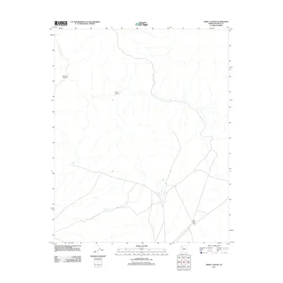
2011 Map of Hindu Canyon
USGS Topo · Published 2011About this map
Hindu Canyon carves through this Mohave County landscape, where the distribution of water sources defines the local geography. In an arid environment where permanent settlements are scarce, the presence of specific livestock watering points like Crozier Tank, Bender Tank, and Siple Tank illustrates the importance of range management and cattle ranching in the region. The map also delineates the transition from the deep incision of Milkweed Canyon in the west to the broader, open expanse of Plain Tank Flat in the southeast. This 2011 survey by the U.S. Geological Survey provides a modern topographic perspective on the sparse infrastructure and remote drainage systems that characterize the high desert of northern Arizona.
Find a feature on this map
8 named features on this map. Tap any name to fly to it.
Don’t see what you’re looking for? This feature index may not catch every label — zoom into the map to look around manually.
Map Details
Editions of this 2011 Hindu Canyon Map
This is the sole edition of this map. No revisions or reprints were ever made.
Other maps of this area

1886 · Diamond Creek
USGS Topo · 1:250,000

1892 · Diamond Creek
USGS Topo · 1:250,000

1948 · Williams
USGS Topo · 1:250,000

1954 · Williams
USGS Topo · 1:250,000

1956 · Williams
USGS Topo · 1:250,000

1960 · Williams
USGS Topo · 1:250,000

1961 · Williams
USGS Topo · 1:250,000
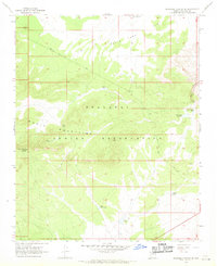
1967 · Milkweed Canyon SE
USGS Topo · 1:24,000

1967 · Milkweed Canyon SW
USGS Topo · 1:24,000

1967 · Peach Springs
USGS Topo · 1:24,000