
1967 Map of Milkweed Canyon SW
USGS Topo · Published 1970About this map
The Hualapai Indian Reservation dominates this 1967 survey, where the high plateaus of Black Mesa drop sharply toward the western horizon. The dramatic escarpment of the Grand Wash Cliffs defines the southern edge of the map, a massive geological boundary where the landscape transitions into the canyon systems below. Water sources are critical landmarks in this arid environment, represented by a network of isolated springs and tanks, including Milkweed Spring, West Water Spring, and the uniquely named Dewey Mahone Spring.
Find a feature on this map
18 named features on this map. Tap any name to fly to it.
Don’t see what you’re looking for? This feature index may not catch every label — zoom into the map to look around manually.
Map Details
Editions of this 1967 Milkweed Canyon SW Map
This is the sole edition of this map. No revisions or reprints were ever made.
Other maps of this area

1886 · Diamond Creek
USGS Topo · 1:250,000

1892 · Diamond Creek
USGS Topo · 1:250,000

1948 · Williams
USGS Topo · 1:250,000

1954 · Williams
USGS Topo · 1:250,000

1956 · Williams
USGS Topo · 1:250,000

1960 · Williams
USGS Topo · 1:250,000

1961 · Williams
USGS Topo · 1:250,000
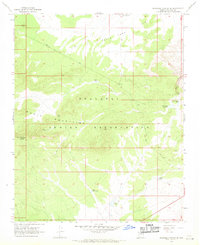
1967 · Milkweed Canyon SE
USGS Topo · 1:24,000
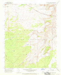
1967 · Milkweed Canyon NW
USGS Topo · 1:24,000
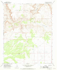
1967 · Hindu Canyon
USGS Topo · 1:24,000