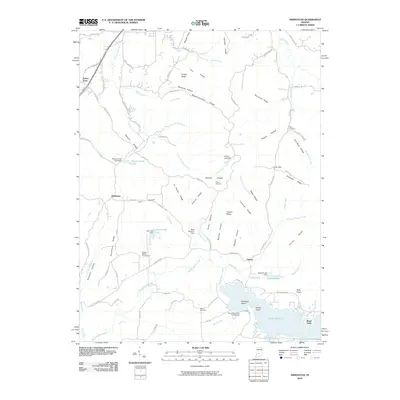
2010 Map of Hindustan
USGS Topo · Published 2010About this map
Hindustan and Fleener anchor this Indiana landscape, where the southern reaches are dominated by the waters of Lake Lemon. The terrain is defined by a dense network of ridges and hollows, including Meetinghouse Ridge, Landram Ridge, and the ominously named Deadman Hollow. Settlement patterns follow these natural contours, with small communities like Farr situated along elevated ground such as Farr Ridge. Genealogists will find several burial sites preserved here, including Taylor Cemetery, Stepp Cemetery, and the curiously placed Cemetery Island within the lake. The map also highlights local recreational and community hubs like the Wheeler Mission Campground and Scout Ridge Youth Campground. Water features are abundant, from the large expanse behind Bean Blossom Dam to smaller bodies of water like Lazy Lake and Egenolf Lake, reflecting a landscape heavily shaped by mid-century water management and forestry.
Find a feature on this map
97 named features on this map. Tap any name to fly to it.
Don’t see what you’re looking for? This feature index may not catch every label — zoom into the map to look around manually.
Map Details
Editions of this 2010 Hindustan Map
This is the sole edition of this map. No revisions or reprints were ever made.
Other maps of this area

1908 · Bloomington
USGS Topo · 1:48,000

1910 · Bloomington
USGS Topo · 1:62,500

1942 · Franklin
USGS Topo · 1:125,000

1946 · Belmont
USGS Topo · 1:24,000

1947 · Unionville
USGS Topo · 1:24,000

1948 · Hindustan
USGS Topo · 1:24,000

1948 · Morgantown
USGS Topo · 1:24,000

1950 · Belmont
USGS Topo · 1:24,000

1950 · Morgantown
USGS Topo · 1:24,000

1953 · Indianapolis
USGS Topo · 1:250,000