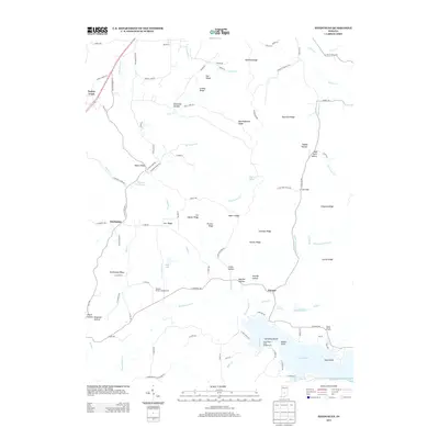
2013 Map of Hindustan
USGS Topo · Published 2013About this map
Lake Lemon dominates the southern portion of this region, a significant water body featuring Cemetery Island, Riddle Point, and Reed Point along its shores. The landscape is defined by a dense network of high ground including Hatfield Ridge, Reynolds Ridge, and Persimmon Ridge, separated by numerous hollows like Deadman Hollow and Happy Hollow. These terrain features direct the flow of several watercourses, most notably Beanblossom Cr and its tributaries, which have shaped the local topography.
Find a feature on this map
109 named features on this map. Tap any name to fly to it.
Don’t see what you’re looking for? This feature index may not catch every label — zoom into the map to look around manually.
Map Details
Editions of this 2013 Hindustan Map
This is the sole edition of this map. No revisions or reprints were ever made.
Other maps of this area

1908 · Bloomington
USGS Topo · 1:48,000

1910 · Bloomington
USGS Topo · 1:62,500

1942 · Franklin
USGS Topo · 1:125,000

1946 · Belmont
USGS Topo · 1:24,000

1947 · Unionville
USGS Topo · 1:24,000

1948 · Hindustan
USGS Topo · 1:24,000

1948 · Morgantown
USGS Topo · 1:24,000

1950 · Belmont
USGS Topo · 1:24,000

1950 · Morgantown
USGS Topo · 1:24,000

1953 · Indianapolis
USGS Topo · 1:250,000