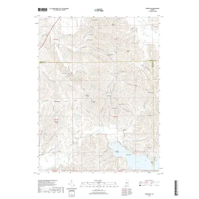
2019 Map of Hindustan
USGS Topo · Published 2019About this map
Hindustan and Fleener anchor this portion of the northern Monroe County uplands, where the terrain is defined by a dense network of ridges and deep hollows. The landscape reflects a mix of conservation and rural settlement, featuring several recreational and historical corridors like the Three Lakes Trail, Mason Ridge/Tecumseh Trail, and the Scout Ridge Nature Trail. These paths traverse a topography marked by family-named landmarks such as Ira Hacker Ridge, Peters Ridge, and Landram Ridge, pointing to the area's deep-rooted genealogical history.
Find a feature on this map
118 named features on this map. Tap any name to fly to it.
Don’t see what you’re looking for? This feature index may not catch every label — zoom into the map to look around manually.
Map Details
Editions of this 2019 Hindustan Map
This is the sole edition of this map. No revisions or reprints were ever made.
Other maps of this area

1908 · Bloomington
USGS Topo · 1:48,000

1910 · Bloomington
USGS Topo · 1:62,500

1942 · Franklin
USGS Topo · 1:125,000

1946 · Belmont
USGS Topo · 1:24,000

1947 · Unionville
USGS Topo · 1:24,000

1948 · Hindustan
USGS Topo · 1:24,000

1948 · Morgantown
USGS Topo · 1:24,000

1950 · Belmont
USGS Topo · 1:24,000

1950 · Morgantown
USGS Topo · 1:24,000

1953 · Indianapolis
USGS Topo · 1:250,000