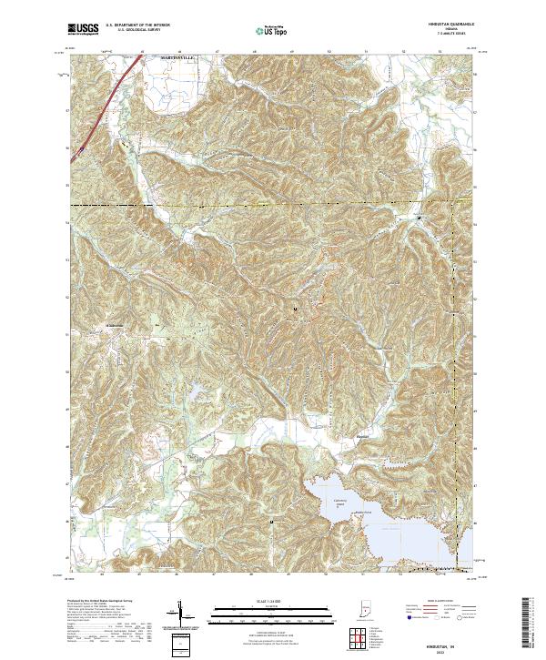
2022 Map of Hindustan
USGS Topo · Published 2022About this map
The deep ravines and ridgelines of the Morgan-Monroe state forest lands define this region of southern Indiana. The landscape is carved by a dense network of drainages including Beanblossom Creek and Greasy Creek, which flow toward the significant expanse of Lake Lemon at the southern edge. Human activity is marked by small settlements like Hindustan and Fleener, while the upland topography is named through local descriptors such as Meetinghouse Ridge, Pea Ridge, and Deadman Hollow. This modern survey illustrates the conservation of the area through the Scout Ridge Nat Pres and various hiking corridors like the Morgan-Monroe Hike-Bike Trl and Three Lakes Trl. Near the shoreline of Lake Lemon, landmarks such as Riddle Point and the intriguing Cemetery Island provide focal points for local history and recreation.
Find a feature on this map
112 named features on this map. Tap any name to fly to it.
Don’t see what you’re looking for? This feature index may not catch every label — zoom into the map to look around manually.
Map Details
Editions of this 2022 Hindustan Map
This is the sole edition of this map. No revisions or reprints were ever made.
Other maps of this area

1908 · Bloomington
USGS Topo · 1:48,000

1910 · Bloomington
USGS Topo · 1:62,500

1942 · Franklin
USGS Topo · 1:125,000

1946 · Belmont
USGS Topo · 1:24,000

1947 · Unionville
USGS Topo · 1:24,000

1948 · Hindustan
USGS Topo · 1:24,000

1948 · Morgantown
USGS Topo · 1:24,000

1950 · Belmont
USGS Topo · 1:24,000

1950 · Morgantown
USGS Topo · 1:24,000

1953 · Indianapolis
USGS Topo · 1:250,000