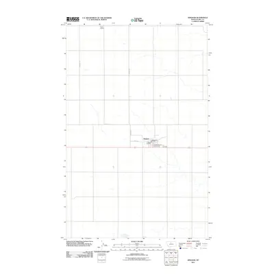
2011 Map of Hingham
USGS Topo · Published 2011About this map
Hingham sits at the center of this high-plains landscape, serving as a primary hub for this portion of Hill County. The town's local infrastructure is clearly defined, with the Hingham Post Office and Hingham Vol Fire Dept anchoring the community near the junction of Hingham Rd and the primary east-west corridor. The surrounding terrain is organized by a geometric grid of rural roads, including Powerline Rd and Lincoln St, which divide the vast agricultural fields characteristic of the Montana Hi-Line. Aviation and travel needs are represented by the Pester Airport to the north and the Hi-Way Quick Stop Campground, reflecting the area's role as a waypoint for travelers and regional commerce during the early 21st century.
Find a feature on this map
9 named features on this map. Tap any name to fly to it.
Don’t see what you’re looking for? This feature index may not catch every label — zoom into the map to look around manually.
Map Details
Editions of this 2011 Hingham Map
This is the sole edition of this map. No revisions or reprints were ever made.
Other maps of this area

1919 · Big Sandy
USGS Topo · 1:125,000

1919 · Alma
USGS Topo · 1:125,000

1920 · Gildford
USGS Topo · 1:125,000

1943 · Gildford
USGS Topo · 1:125,000

1954 · Shelby
USGS Topo · 1:250,000

1958 · Shelby
USGS Topo · 1:250,000

1969 · Gildford NE
USGS Topo · 1:24,000

1969 · Gildford NW
USGS Topo · 1:24,000

1969 · Hingham
USGS Topo · 1:24,000

1969 · Fourteenmile Coulee NW
USGS Topo · 1:24,000