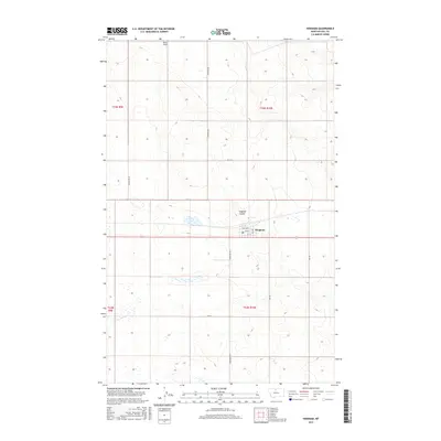
2017 Map of Hingham
USGS Topo · Published 2017About this map
Hingham serves as the central hub of this agricultural landscape in north-central Montana, organized by the crisp geometry of the Public Land Survey System. The town's grid is marked by a local Post Office and several named streets including 1st St and 2nd Ave. Beyond the settlement, the terrain is defined by the winding course of England Coulee, which cuts across the predominantly flat plains. The map reveals the infrastructure of this prairie region, from the small Pester Airport in the northern reaches to a network of section-line roads like Hingham Rd and Powerline Rd. The presence of numerous small, scattered wetlands and basins suggests the area's typical high-plains hydrology, where water collection points are critical features of the open range.
Find a feature on this map
20 named features on this map. Tap any name to fly to it.
Don’t see what you’re looking for? This feature index may not catch every label — zoom into the map to look around manually.
Map Details
Editions of this 2017 Hingham Map
This is the sole edition of this map. No revisions or reprints were ever made.
Other maps of this area

1919 · Big Sandy
USGS Topo · 1:125,000

1919 · Alma
USGS Topo · 1:125,000

1920 · Gildford
USGS Topo · 1:125,000

1943 · Gildford
USGS Topo · 1:125,000

1954 · Shelby
USGS Topo · 1:250,000

1958 · Shelby
USGS Topo · 1:250,000

1969 · Gildford NE
USGS Topo · 1:24,000

1969 · Gildford NW
USGS Topo · 1:24,000

1969 · Hingham
USGS Topo · 1:24,000

1969 · Fourteenmile Coulee NW
USGS Topo · 1:24,000