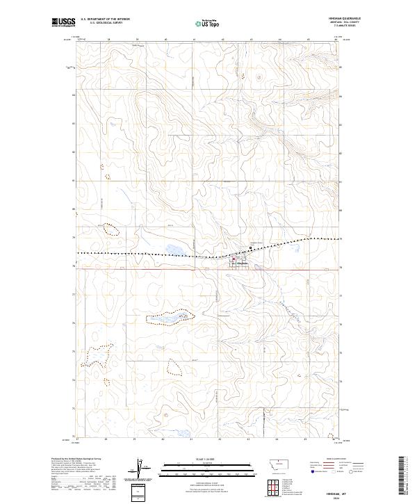
2024 Map of Hingham
USGS Topo · Published 2024About this map
Hingham serves as the central hub of this northern Montana landscape, situated along a grid of historic section lines and local connectors. The settlement is clearly defined by its street network, ranging from 1st St to 5th St, and is supported by local landmarks like the Hingham Union Cem to the northeast. The surrounding terrain is characterized by the natural drainage of England Coulee, which winds through the southern portion of the quadrangle. Transport and utility infrastructure are prominent features, with Hingham Rd and Highland Rd S providing primary north-south access. The presence of Pester Airport in the northern section and a dedicated Powerline Rd reflects the modern development of this agricultural region within Hill County.
Find a feature on this map
22 named features on this map. Tap any name to fly to it.
Don’t see what you’re looking for? This feature index may not catch every label — zoom into the map to look around manually.
Map Details
Editions of this 2024 Hingham Map
This is the sole edition of this map. No revisions or reprints were ever made.
Other maps of this area

1919 · Big Sandy
USGS Topo · 1:125,000

1919 · Alma
USGS Topo · 1:125,000

1920 · Gildford
USGS Topo · 1:125,000

1943 · Gildford
USGS Topo · 1:125,000

1954 · Shelby
USGS Topo · 1:250,000

1958 · Shelby
USGS Topo · 1:250,000

1969 · Gildford NE
USGS Topo · 1:24,000

1969 · Gildford NW
USGS Topo · 1:24,000

1969 · Hingham
USGS Topo · 1:24,000

1969 · Fourteenmile Coulee NW
USGS Topo · 1:24,000