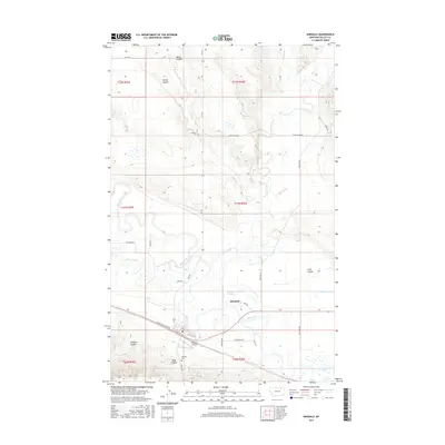
2017 Map of Hinsdale
USGS Topo · Published 2017About this map
Hinsdale serves as the primary settlement center within this northern Montana landscape, positioned where the meandering Milk River meets a network of vital water management infrastructure. The integration of natural waterways and human engineering is evident in features like the Rock Cr Canal and Baatke Slough, which support the region's agricultural viability. This area's historical depth is underscored by the presence of the Lewis and Clark Trl, tracing the path of early exploration along the river's southern bank.
Find a feature on this map
39 named features on this map. Tap any name to fly to it.
Don’t see what you’re looking for? This feature index may not catch every label — zoom into the map to look around manually.
Map Details
Editions of this 2017 Hinsdale Map
This is the sole edition of this map. No revisions or reprints were ever made.
Other maps of this area

1906 · Hinsdale Special Map
USGS Topo · 1:62,500

1919 · Boundary
USGS Topo · 1:125,000

1943 · Glasgow
USGS Topo · 1:125,000

1954 · Glasgow
USGS Topo · 1:250,000

1957 · Glasgow
USGS Topo · 1:250,000

1958 · Glasgow
USGS Topo · 1:250,000

1969 · Vandalia
USGS Topo · 1:24,000

1969 · Ellsworth Coulee
USGS Topo · 1:24,000

1984 · Bjornberg Bridge
USGS Topo · 1:24,000

1984 · Opheim
USGS Topo · 1:100,000