
1969 Map of Ellsworth Coulee
USGS Topo · Published 1972About this map
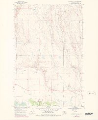
The Milk River meanders across the southern boundary of this high plains landscape, defined by a complex network of coulees and reservoirs. The historical Lewis and Clark Trail cuts an east-west path through the lower third of the quadrangle, tracing the movement of early exploration along the northern reaches of the Missouri River Basin. This 1960s survey documents a highly managed water system necessary for life in Valley County, featuring the Rock Creek Canal and several named catchments like VR-80 Reservoir, Confusion Reservoir, and Buggy Reservoir.
Find a feature on this map
21 named features on this map. Tap any name to fly to it.
Don’t see what you’re looking for? This feature index may not catch every label — zoom into the map to look around manually.
Map Details
Editions of this 1969 Ellsworth Coulee Map
2 editions found
Other maps of this area

1906 · Hinsdale Special Map
USGS Topo · 1:62,500

1919 · Boundary
USGS Topo · 1:125,000

1943 · Glasgow
USGS Topo · 1:125,000

1954 · Glasgow
USGS Topo · 1:250,000

1957 · Glasgow
USGS Topo · 1:250,000

1958 · Glasgow
USGS Topo · 1:250,000
1969 · Tampico
USGS Topo · 1:24,000

1969 · Vandalia
USGS Topo · 1:24,000
1969 · Tampico NE
USGS Topo · 1:24,000

1984 · Laundry Hill
USGS Topo · 1:24,000