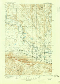
1906 Map of Hinsdale
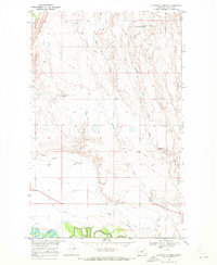
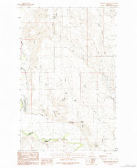
USGS Topo · Published 1949About this map
Hinsdale serves as the primary railhead and settlement in this corner of Valley County, where the Great Northern railroad tracks parallel the winding path of the Milk River. The landscape is defined by an extensive network of early 20th-century family livestock operations, including Nelson's Ranch, Snieder's Ranch, and White's Ranch, which are distributed along the coulees and creek beds. This era of settlement is characterized by the critical importance of water access, with numerous small dams and the Canal system supporting the arid terrain.
Find a feature on this map
33 named features on this map. Tap any name to fly to it.
Don’t see what you’re looking for? This feature index may not catch every label — zoom into the map to look around manually.
Map Details
Editions of this 1906 Hinsdale Map
2 editions found
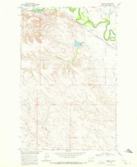
Other maps of this area
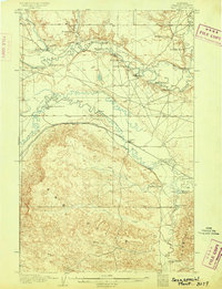
1905 · Saco Special
USGS Topo · 1:62,500
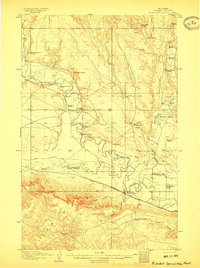
1906 · Hinsdale Special Map
USGS Topo · 1:62,500

1919 · Boundary
USGS Topo · 1:125,000

1943 · Glasgow
USGS Topo · 1:125,000

1954 · Glasgow
USGS Topo · 1:250,000

1957 · Glasgow
USGS Topo · 1:250,000

1958 · Glasgow
USGS Topo · 1:250,000
1969 · Vandalia
USGS Topo · 1:24,000
1969 · Ellsworth Coulee
USGS Topo · 1:24,000
1984 · Bjornberg Bridge
USGS Topo · 1:24,000