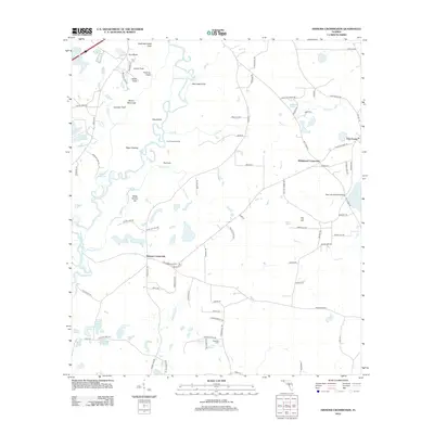
2012 Map of Hinsons Crossroads
USGS Topo · Published 2012About this map
The Choctawhatchee River defines the western edge of this landscape, creating a complex system of backwaters and named sloughs like Saved Slough. The area is characterized by a high density of small ponds and lakes, including Berry Ann Lake, Fortune Lake, and Leavins Lake, which often sit adjacent to distinctive terrain features such as Steep Hollow Hill and Mountain Sink. These water bodies and low-lying clearings, like Page Clearing and Blue Lake Field, suggest a rural environment where the natural drainage patterns of Gum Cr and Yates Mill Cr dictate the layout of homesteads and small clearings.
Find a feature on this map
101 named features on this map. Tap any name to fly to it.
Don’t see what you’re looking for? This feature index may not catch every label — zoom into the map to look around manually.
Map Details
Editions of this 2012 Hinsons Crossroads Map
This is the sole edition of this map. No revisions or reprints were ever made.
Other maps of this area

1948 · Ponce De Leon
USGS Topo · 1:24,000

1949 · Millers Ferry
USGS Topo · 1:24,000

1949 · Redbay
USGS Topo · 1:24,000

1949 · Hinsons Cross Roads
USGS Topo · 1:24,000

1949 · Caryville
USGS Topo · 1:24,000

1950 · Prosperity
USGS Topo · 1:24,000

1950 · Millers Ferry
USGS Topo · 1:24,000

1950 · Ponce De Leon
USGS Topo · 1:24,000

1950 · Hinsons Cross Roads
USGS Topo · 1:24,000

1950 · Redbay
USGS Topo · 1:24,000