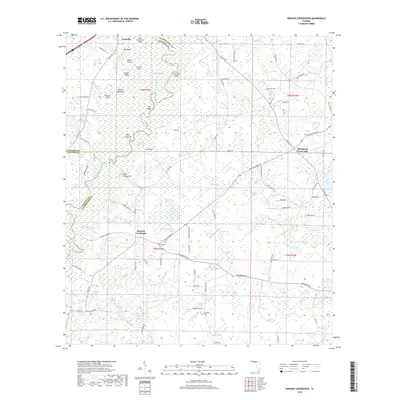
2018 Map of Hinsons Crossroads
USGS Topo · Published 2018About this map
The Choctawhatchee River and its intricate network of side channels, including Sawed Slough and Old River, dominate this landscape near the tri-county intersection of Holmes, Walton, and Washington. This environment is characterized by numerous small bodies of water and swampy depressions such as Shaky Joe Swamp and Yates Swamp, while subtle elevations like Steep Hollow Hill and Big Hill provide relief from the surrounding lowlands. The settlement pattern consists primarily of rural junctions and named fields, reflecting a long-standing agricultural and timber-based economy.
Find a feature on this map
109 named features on this map. Tap any name to fly to it.
Don’t see what you’re looking for? This feature index may not catch every label — zoom into the map to look around manually.
Map Details
Editions of this 2018 Hinsons Crossroads Map
This is the sole edition of this map. No revisions or reprints were ever made.
Other maps of this area

1948 · Ponce De Leon
USGS Topo · 1:24,000

1949 · Millers Ferry
USGS Topo · 1:24,000

1949 · Redbay
USGS Topo · 1:24,000

1949 · Hinsons Cross Roads
USGS Topo · 1:24,000

1949 · Caryville
USGS Topo · 1:24,000

1950 · Prosperity
USGS Topo · 1:24,000

1950 · Millers Ferry
USGS Topo · 1:24,000

1950 · Ponce De Leon
USGS Topo · 1:24,000

1950 · Hinsons Cross Roads
USGS Topo · 1:24,000

1950 · Redbay
USGS Topo · 1:24,000