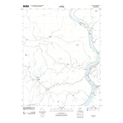
2011 Map of Hinton
USGS Topo · Published 2011About this map
The New River corridor serves as the primary artery for transport and settlement in this portion of Summers County, where the Greenbrier River joins the main flow near Bellepoint. At the southern edge of the survey, the Bluestone Dam holds back the waters of Bluestone Lake, a major engineering feature that defines the local hydrology. The regional economy and social structure are anchored by several small settlements, including Hinton, Avis, and Brooklin, each connected by a network of winding mountain roads like Madams Creek Rd and Freezeland Rd.
Find a feature on this map
84 named features on this map. Tap any name to fly to it.
Don’t see what you’re looking for? This feature index may not catch every label — zoom into the map to look around manually.
Map Details
Editions of this 2011 Hinton Map
This is the sole edition of this map. No revisions or reprints were ever made.
Other maps of this area

1887 · Hinton
USGS Topo · 1:125,000

1891 · Raleigh
USGS Topo · 1:125,000

1892 · Hinton
USGS Topo · 1:125,000

1897 · Raleigh
USGS Topo · 1:125,000

1902 · Raleigh
USGS Topo · 1:125,000

1911 · Flattop
USGS Topo · 1:48,000

1911 · Beckley
USGS Topo · 1:48,000

1912 · Meadow Creek
USGS Topo · 1:48,000

1912 · Big Bend
USGS Topo · 1:62,500

1913 · Beckley
USGS Topo · 1:62,500