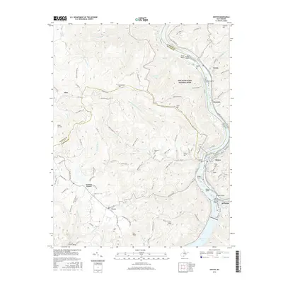
2016 Map of Hinton
USGS Topo · Published 2016About this map
Hinton and Bellepoint anchor the confluence of the New River and Greenbrier River, where the landscape transitions from urban grid to the protected wilderness of the New River Gorge National River. This 2016 survey illustrates the modern footprint of these river towns, including the expansion of Avis and the importance of the Hinton Bridge for regional connectivity. The southern reaches of the map are defined by the headwaters of Bluestone Lake, while the uplands feature established family names and communities such as Jumping Branch, Nimitz, and Pluto.
Find a feature on this map
122 named features on this map. Tap any name to fly to it.
Don’t see what you’re looking for? This feature index may not catch every label — zoom into the map to look around manually.
Map Details
Editions of this 2016 Hinton Map
This is the sole edition of this map. No revisions or reprints were ever made.
Other maps of this area

1887 · Hinton
USGS Topo · 1:125,000

1891 · Raleigh
USGS Topo · 1:125,000

1892 · Hinton
USGS Topo · 1:125,000

1897 · Raleigh
USGS Topo · 1:125,000
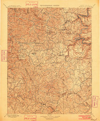
1902 · Raleigh
USGS Topo · 1:125,000
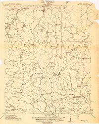
1911 · Flattop
USGS Topo · 1:48,000
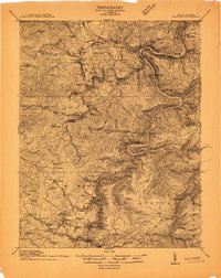
1911 · Beckley
USGS Topo · 1:48,000
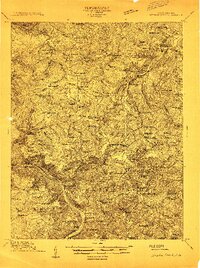
1912 · Meadow Creek
USGS Topo · 1:48,000
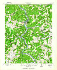
1912 · Big Bend
USGS Topo · 1:62,500
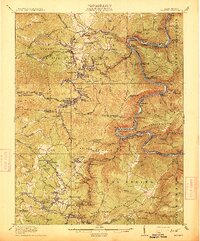
1913 · Beckley
USGS Topo · 1:62,500