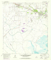
2022 Map of Hitchcock
USGS Topo · Published 2022About this map
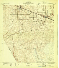
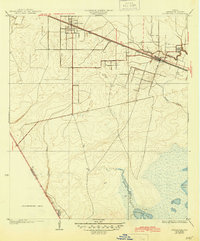
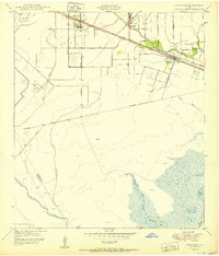
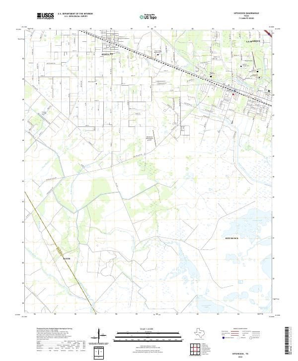
Hitchcock and Santa Fe anchor this coastal Texas landscape, where the flat coastal plains of Galveston County meet a dense network of bayous and wetlands. The area is defined by its transition from suburban development in the north, around La Marque, to the expansive marshlands of the Intracoastal Waterway and Carancahua Lake in the south. These waters, including Willow Bayou and Halls Bayou, reflect the region's complex hydrology near the Gulf. Local history is deeply embedded in the numerous small burial grounds and memorial sites scattered across the map, such as Alta Loma Cem, Beguin-Opitz Cem, and the Hypolite Perthuis Cem. The landscape also highlights the importance of regional aviation and ranching, with Creasy Airport and the Tacquard Ranch Rd serving the community's logistical and agricultural needs.
Find a feature on this map
64 named features on this map. Tap any name to fly to it.
Don’t see what you’re looking for? This feature index may not catch every label — zoom into the map to look around manually.
Map Details
Editions of this 2022 Hitchcock Map
This is the sole edition of this map. No revisions or reprints were ever made.
Historical Maps of Alvin Through Time
5 maps found