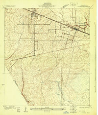
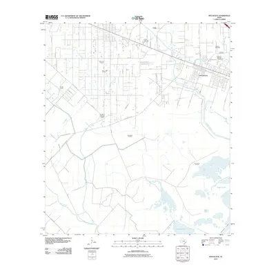
1929 Map of Hitchcock
USGS Topo · Published 1929About this map
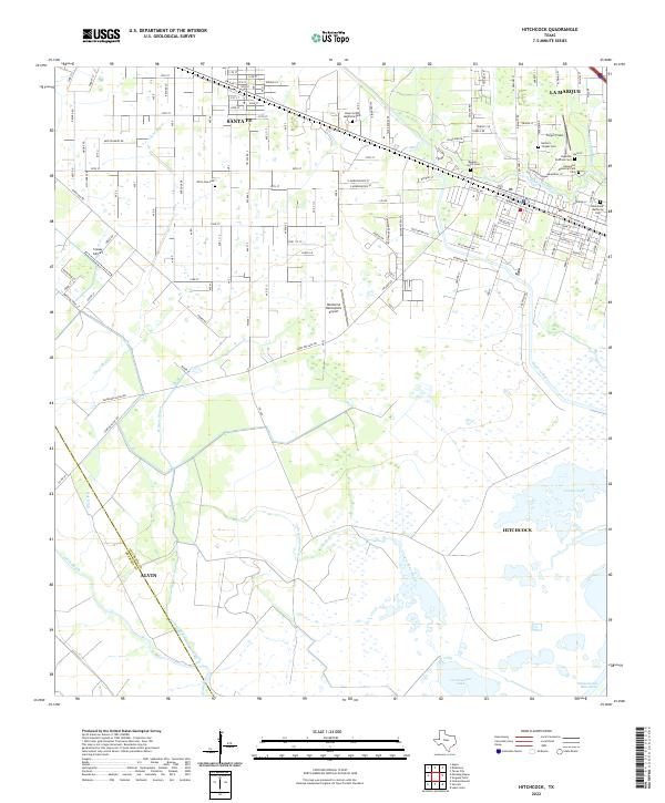
Low-lying coastal prairies and intricate drainage systems define the landscape between Alta Loma and Hitchcock in the late 1920s. This survey, conducted by topographic engineers such as S.B. O'Hara for the U.S. Geological Survey and the Texas Reclamation Department, documents a region defined by its relationship to water and transportation. The Gulf Colorado and Santa Fe Railway runs parallel to State Highway No. 38, creating a primary corridor for commerce and movement through the coastal flatlands.
Find a feature on this map
23 named features on this map. Tap any name to fly to it.
Don’t see what you’re looking for? This feature index may not catch every label — zoom into the map to look around manually.
Map Details
Editions of this 1929 Hitchcock Map
This is the sole edition of this map. No revisions or reprints were ever made.
Historical Maps of Alvin Through Time
9 maps found
1929 Hitchcock
Galveston County, TX
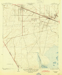
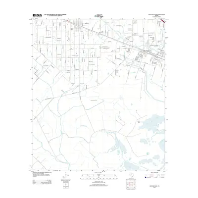
1932 Hitchcock
Galveston County, TX
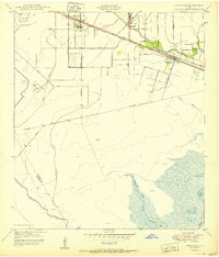
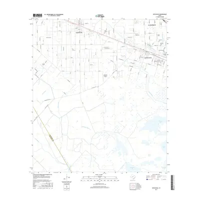
1950 Hitchcock
Galveston County, TX
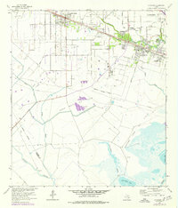
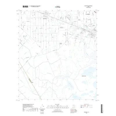
1964 Hitchcock
Galveston County, TX
2010 Hitchcock
Galveston County, TX
2013 Hitchcock
Galveston County, TX
2016 Hitchcock
Galveston County, TX
2019 Hitchcock
Galveston County, TX
2022 Hitchcock
Galveston County, TX