
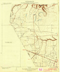
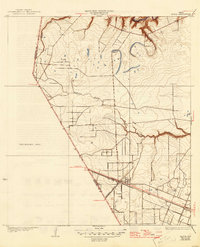
1932 Map of Algoa
USGS Topo · Published 1932About this map
Algoa serves as the central hub of this coastal prairie landscape, positioned at the critical junction of the Gulf Colorado and Santa Fe and Missouri Pacific railroads. Surveyed just before the expansion of the regional highway system, the map shows State Highway No 38 cutting a straight line through the flat terrain, reflecting the early 20th-century transition from rail-dependent commerce to automotive transport.
Find a feature on this map
10 named features on this map. Tap any name to fly to it.
Don’t see what you’re looking for? This feature index may not catch every label — zoom into the map to look around manually.
Map Details
Editions of this 1932 Algoa Map
3 editions found
Other maps of this area

1916 · Genoa
USGS Topo · 1:24,000

1916 · Seabrook
USGS Topo · 1:24,000

1920 · Seabrook
USGS Topo · 1:31,680

1920 · Genoa
USGS Topo · 1:31,680

1920 · Mykawa
USGS Topo · 1:31,680

1929 · Dickinson
USGS Topo · 1:24,000

1929 · Algoa
USGS Topo · 1:24,000

1929 · Hitchcock
USGS Topo · 1:24,000
1932 · Genoa
USGS Topo · 1:31,680

1932 · Dickinson
USGS Topo · 1:31,680