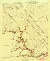
1932 Map of Genoa
USGS Topo · Published 1932About this map
Genoa and the surrounding coastal prairies of Southeast Texas are captured here during a period of transition between early agricultural settlement and the expansion of modern infrastructure. Two parallel rail lines, the Galveston Houston and Henderson and the Galveston Houston Electric, slash diagonally across the landscape, illustrating the critical transit corridor connecting the regional hubs. To the south, the settlement of Friendswood sits near the winding waters of Clear Creek, where the Friendswood Bridge provides a vital crossing point. The map also identifies Olcott (Ellington Field), noting the early presence of the aviation facility that would later become a permanent fixture of the area. Numerous drainages like Coward Bayou and Turkey Creek reveal the natural hydrology of the basin before extensive modern channelization altered these watercourses.
Find a feature on this map
18 named features on this map. Tap any name to fly to it.
Don’t see what you’re looking for? This feature index may not catch every label — zoom into the map to look around manually.
Map Details
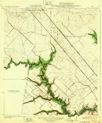
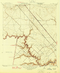
Editions of this 1932 Genoa Map
3 editions found
Other maps of this area

1915 · Park Place
USGS Topo · 1:24,000

1915 · Deepwater
USGS Topo · 1:24,000

1916 · Genoa
USGS Topo · 1:24,000

1916 · Seabrook
USGS Topo · 1:24,000

1916 · La Porte
USGS Topo · 1:24,000

1919 · Deepwater
USGS Topo · 1:31,680

1920 · Seabrook
USGS Topo · 1:31,680

1920 · Genoa
USGS Topo · 1:31,680

1920 · Mykawa
USGS Topo · 1:31,680

1920 · La Porte
USGS Topo · 1:31,680