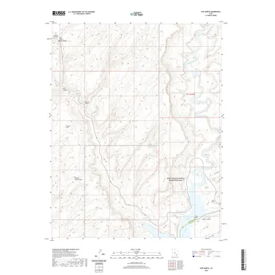
2020 Map of Hite North
USGS Topo · Published 2020About this map
The Dirty Devil River winds through high desert plateaus and deeply incised canyons before meeting the northern reaches of Lake Powell in this contemporary record of the Utah backcountry. The landscape is defined by its dramatic topographic relief, featuring prominent formations such as Trachyte Point and several named drainages including Butler Canyon, Hog Canyon, and Marinus Canyon.
Find a feature on this map
19 named features on this map. Tap any name to fly to it.
Don’t see what you’re looking for? This feature index may not catch every label — zoom into the map to look around manually.
Map Details
Editions of this 2020 Hite North Map
This is the sole edition of this map. No revisions or reprints were ever made.
Other maps of this area

1885 · San Rafael
USGS Topo · 1:250,000

1886 · Henry Mountains
USGS Topo · 1:250,000

1892 · Henry Mountains
USGS Topo · 1:250,000

1952 · Orange Cliffs 3 SW
USGS Topo · 1:24,000

1952 · Mt Pennell 1 NE
USGS Topo · 1:24,000

1952 · Mt Hillers
USGS Topo · 1:62,500

1952 · Mt Pennell 1 SE
USGS Topo · 1:24,000

1952 · Hite
USGS Topo · 1:62,500

1952 · Bull Mountain
USGS Topo · 1:62,500

1953 · Orange Cliffs 3 SE
USGS Topo · 1:24,000