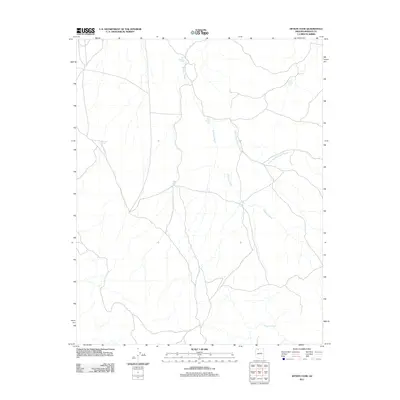
2011 Map of Hitson Tank
USGS Topo · Published 2011About this map
Robinson Wash and its associated tributaries define this arid landscape in Mohave County, where water management is the primary driver of human modification. This 2011 survey illustrates a network of cattle tanks and water sources essential for livestock and local land use. Named features like Big Jackson Tank, June Heaton Tank, and Merle Findlay Tank suggest a history of individual or family ranching efforts in this part of Arizona. The drainage system is dominated by the North Fork Robinson Wash, which converges with other branches near the eponymous Hitson Tank. Toward the south, Buckhorn Spring provides a natural contrast to the man-made impoundments, marking a vital hydrological point in a region otherwise characterized by ephemeral washes and seasonal collection points.
Find a feature on this map
9 named features on this map. Tap any name to fly to it.
Don’t see what you’re looking for? This feature index may not catch every label — zoom into the map to look around manually.
Map Details
Editions of this 2011 Hitson Tank Map
This is the sole edition of this map. No revisions or reprints were ever made.
Other maps of this area

1886 · Kaibab
USGS Topo · 1:250,000

1953 · Grand Canyon
USGS Topo · 1:250,000

1954 · Heaton Knolls SE
USGS Topo · 1:24,000

1954 · Heaton Knolls
USGS Topo · 1:62,500

1957 · Grand Canyon
USGS Topo · 1:250,000

1957 · Jumpup Canyon
USGS Topo · 1:62,500

1958 · Grand Canyon
USGS Topo · 1:250,000

1960 · Grand Canyon
USGS Topo · 1:250,000

1962 · Kanab Point
USGS Topo · 1:62,500

1962 · Tuckup Canyon
USGS Topo · 1:62,500