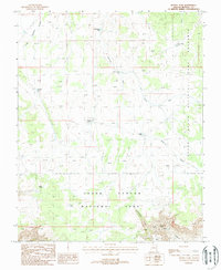
1988 Map of Hitson Tank
USGS Topo · Published 1988About this map
The boundary between the Grand Canyon National Game Preserve and the Grand Canyon National Park bisects this high desert landscape, capturing a remote region defined by water management and topography in the late twentieth century. Ranching and land-use patterns are evident through the network of specialized water sources such as Big Jackson Tank, Merle Findlay Tank, and Nininger Tank. These man-made improvements, alongside the Hitson Tank Corral, suggest the ongoing importance of livestock grazing even as the land transitions into federally protected conservation areas.
Find a feature on this map
18 named features on this map. Tap any name to fly to it.
Don’t see what you’re looking for? This feature index may not catch every label — zoom into the map to look around manually.
Map Details
Editions of this 1988 Hitson Tank Map
This is the sole edition of this map. No revisions or reprints were ever made.
Other maps of this area

1886 · Kaibab
USGS Topo · 1:250,000

1953 · Grand Canyon
USGS Topo · 1:250,000

1954 · Heaton Knolls SE
USGS Topo · 1:24,000

1954 · Heaton Knolls
USGS Topo · 1:62,500

1957 · Grand Canyon
USGS Topo · 1:250,000

1957 · Jumpup Canyon
USGS Topo · 1:62,500

1958 · Grand Canyon
USGS Topo · 1:250,000

1960 · Grand Canyon
USGS Topo · 1:250,000

1962 · Kanab Point
USGS Topo · 1:62,500

1962 · Tuckup Canyon
USGS Topo · 1:62,500