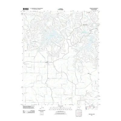
2011 Map of Hiwasse
USGS Topo · Published 2011About this map
Bella Vista and the community of Hiwasse anchor this corner of Northwest Arkansas, characterized by a sophisticated network of recreational lakes and residential expansion. The landscape is defined by major impoundments including Loch Lomond, Lake Windsor, and Lake Avalon, which are fed by several local drainages like Tanyard Creek and Little Sugar Creek. The residential infrastructure shows a clear pattern of planned development, with many street names reflecting Scottish influences, such as Kincardine Dr and Dunkeld Dr.
Find a feature on this map
188 named features on this map. Tap any name to fly to it.
Don’t see what you’re looking for? This feature index may not catch every label — zoom into the map to look around manually.
Map Details
Editions of this 2011 Hiwasse Map
This is the sole edition of this map. No revisions or reprints were ever made.
Other maps of this area

1899 · Fayetteville
USGS Topo · 1:125,000

1901 · Fayetteville
USGS Topo · 1:125,000

1904 · Fayetteville
USGS Topo · 1:125,000

1940 · Noel
USGS Topo · 1:62,500

1941 · Rocky Comfort
USGS Topo · 1:62,500

1943 · Noel
USGS Topo · 1:62,500

1943 · Rocky Comfort
USGS Topo · 1:62,500

1954 · Tulsa
USGS Topo · 1:250,000

1958 · Tulsa
USGS Topo · 1:250,000

1963 · Tulsa
USGS Topo · 1:250,000