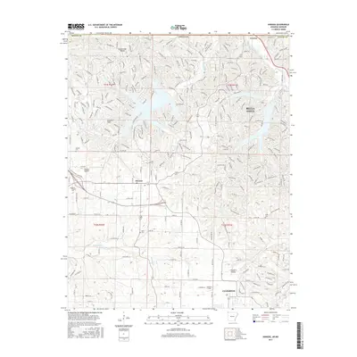
2017 Map of Hiwasse
USGS Topo · Published 2017About this map
Bella Vista dominates the northeast portion of this Benton County landscape, where the sprawling residential street network navigates the complex terrain of the Ozark Plateau. The map reveals a transition from the dense, curving suburban layout of the north to the more traditional grid-influenced settlements of Hiwasse and Centerton in the south. These southern areas maintain a more open character, punctuated by established sites such as Keith Cem and Ashmore Field.
Find a feature on this map
253 named features on this map. Tap any name to fly to it.
Don’t see what you’re looking for? This feature index may not catch every label — zoom into the map to look around manually.
Map Details
Editions of this 2017 Hiwasse Map
This is the sole edition of this map. No revisions or reprints were ever made.
Other maps of this area

1899 · Fayetteville
USGS Topo · 1:125,000

1901 · Fayetteville
USGS Topo · 1:125,000

1904 · Fayetteville
USGS Topo · 1:125,000

1940 · Noel
USGS Topo · 1:62,500

1941 · Rocky Comfort
USGS Topo · 1:62,500

1943 · Noel
USGS Topo · 1:62,500

1943 · Rocky Comfort
USGS Topo · 1:62,500

1954 · Tulsa
USGS Topo · 1:250,000

1958 · Tulsa
USGS Topo · 1:250,000

1963 · Tulsa
USGS Topo · 1:250,000