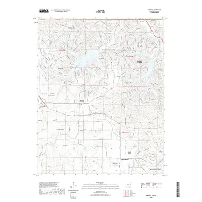
2020 Map of Hiwasse
USGS Topo · Published 2020About this map
Hiwasse and the outskirts of Bentonville characterize this portion of Benton County, where the transition from rural land to suburban expansion is clearly visible. The landscape is marked by the winding paths of Little Sugar Creek and Spavinaw Creek, which carve through terrain dotted with landmarks like Gobblers-Knob and Rattlesnake Hollow. For those researching local heritage, the map identifies several smaller burial grounds, including Daniels Cem and Miller Cem, providing essential coordinates for genealogical study. The northern portion of the sheet shows the complex residential road network of Bella Vista, while the southern reaches capture the growth of Centerton near Ashmore Field. This record provides a clear view of the mid-20th-century road layout before more modern developments further altered the region's topography.
Find a feature on this map
269 named features on this map. Tap any name to fly to it.
Don’t see what you’re looking for? This feature index may not catch every label — zoom into the map to look around manually.
Map Details
Editions of this 2020 Hiwasse Map
This is the sole edition of this map. No revisions or reprints were ever made.
Other maps of this area

1899 · Fayetteville
USGS Topo · 1:125,000

1901 · Fayetteville
USGS Topo · 1:125,000

1904 · Fayetteville
USGS Topo · 1:125,000

1940 · Noel
USGS Topo · 1:62,500

1941 · Rocky Comfort
USGS Topo · 1:62,500

1943 · Noel
USGS Topo · 1:62,500

1943 · Rocky Comfort
USGS Topo · 1:62,500

1954 · Tulsa
USGS Topo · 1:250,000

1958 · Tulsa
USGS Topo · 1:250,000

1963 · Tulsa
USGS Topo · 1:250,000