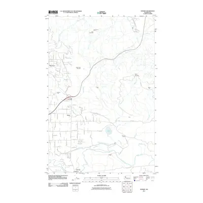
2011 Map of Hobart
USGS Topo · Published 2011About this map
Hobart serves as the central settlement in this portion of King County, where the landscape transitions from residential clusters like Mirrormont to the industrial and resource management corridors of the Cedar River. The map highlights the area's history of timber and water management, visible through the presence of the Shingle Mill and the Taylor Mill Pond Dam. To the south, the Seattle Water Supply Intake near Landsburg underscores the region's vital role in urban infrastructure, while the Walsh Lake Diversion Ditch illustrates the complex engineering used to manage local hydrology.
Find a feature on this map
76 named features on this map. Tap any name to fly to it.
Don’t see what you’re looking for? This feature index may not catch every label — zoom into the map to look around manually.
Map Details
Editions of this 2011 Hobart Map
This is the sole edition of this map. No revisions or reprints were ever made.
Other maps of this area

1895 · Snohomish
USGS Topo · 1:125,000

1897 · Tacoma
USGS Topo · 1:125,000

1897 · Seattle
USGS Topo · 1:125,000

1900 · Tacoma
USGS Topo · 1:125,000

1913 · Cedar Lake
USGS Topo · 1:125,000

1921 · Sultan
USGS Topo · 1:125,000

1923 · Sultan
USGS Topo · 1:125,000

1949 · Maple Valley
USGS Topo · 1:24,000

1949 · Black Diamond
USGS Topo · 1:24,000

1950 · Issaquah
USGS Topo · 1:24,000