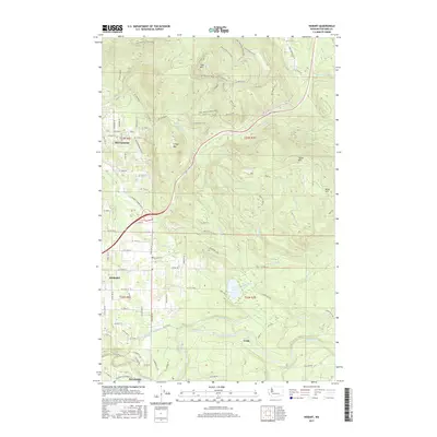
2017 Map of Hobart
USGS Topo · Published 2017About this map
Hobart and Mirrormont occupy the valley floor and foothills in this 2017 survey of the Issaquah Highlands. The landscape is defined by the significant elevation of Tiger Mtn and Taylor Mtn, which frame a complex network of recreation and history. The legacy of industrial logging and transport is visible in the paths of the Preston Railroad Trail and Iverson Railroad Trail, now repurposed as part of a modern trail system that includes Joy Ride and Master Link.
Find a feature on this map
96 named features on this map. Tap any name to fly to it.
Don’t see what you’re looking for? This feature index may not catch every label — zoom into the map to look around manually.
Map Details
Editions of this 2017 Hobart Map
This is the sole edition of this map. No revisions or reprints were ever made.
Other maps of this area

1895 · Snohomish
USGS Topo · 1:125,000

1897 · Tacoma
USGS Topo · 1:125,000

1897 · Seattle
USGS Topo · 1:125,000

1900 · Tacoma
USGS Topo · 1:125,000

1913 · Cedar Lake
USGS Topo · 1:125,000

1921 · Sultan
USGS Topo · 1:125,000

1923 · Sultan
USGS Topo · 1:125,000

1949 · Maple Valley
USGS Topo · 1:24,000

1949 · Black Diamond
USGS Topo · 1:24,000

1950 · Issaquah
USGS Topo · 1:24,000