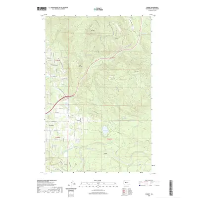
2020 Map of Hobart
USGS Topo · Published 2020About this map
The settlement of Hobart serves as a central point in this landscape where suburban residential pockets meet the steep timberlands of King County. To the north, Mirrormont sits at the foot of Tiger Mtn, while the southern reaches are dominated by the Cedar River and the industrial infrastructure surrounding Walsh Lake. The map reveals a transition from the agricultural and mill heritage of Taylor Mill Pond to a modern recreation-focused economy, evidenced by a dense network of trails such as Off The Grid, Joy Ride, and the Preston Railroad Trail. Former timber and rail corridors, including the Iverson Railroad Trail, have been repurposed, showing how the movement of resources has shifted to the movement of people through the forest. Significant hydrological management is visible through the Walsh Lake-Diversion Ditch, reflecting the long-standing importance of this watershed to the regional water supply.
Find a feature on this map
83 named features on this map. Tap any name to fly to it.
Don’t see what you’re looking for? This feature index may not catch every label — zoom into the map to look around manually.
Map Details
Editions of this 2020 Hobart Map
This is the sole edition of this map. No revisions or reprints were ever made.
Other maps of this area

1895 · Snohomish
USGS Topo · 1:125,000

1897 · Tacoma
USGS Topo · 1:125,000

1897 · Seattle
USGS Topo · 1:125,000

1900 · Tacoma
USGS Topo · 1:125,000

1913 · Cedar Lake
USGS Topo · 1:125,000

1921 · Sultan
USGS Topo · 1:125,000

1923 · Sultan
USGS Topo · 1:125,000

1949 · Maple Valley
USGS Topo · 1:24,000

1949 · Black Diamond
USGS Topo · 1:24,000

1950 · Issaquah
USGS Topo · 1:24,000