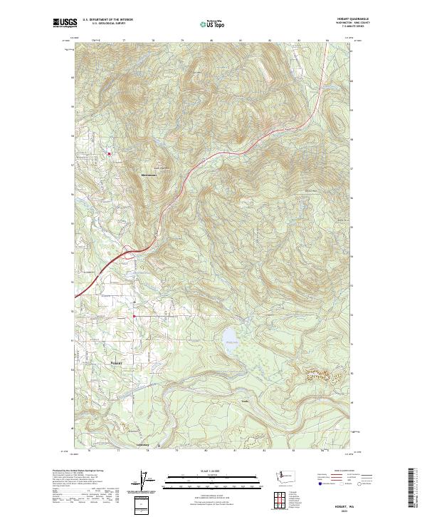
2023 Map of Hobart
USGS Topo · Published 2023About this map
Tiger Mtn and Taylor Mtn dominate this modern topographical study of the foothills southeast of Seattle, where dense drainage networks define the steep local terrain. The transition from the residential patterns of Mirrormont to the rural center of Hobart illustrates the enduring settlement structure of King County. Significant water management features are central to the landscape here, including the Walsh Lake Diversion Ditch and the Cedar River, reflecting the area's vital role in regional hydrology.
Find a feature on this map
78 named features on this map. Tap any name to fly to it.
Don’t see what you’re looking for? This feature index may not catch every label — zoom into the map to look around manually.
Map Details
Editions of this 2023 Hobart Map
This is the sole edition of this map. No revisions or reprints were ever made.
Other maps of this area

1895 · Snohomish
USGS Topo · 1:125,000

1897 · Tacoma
USGS Topo · 1:125,000

1897 · Seattle
USGS Topo · 1:125,000

1900 · Tacoma
USGS Topo · 1:125,000
1913 · Cedar Lake
USGS Topo · 1:125,000
1921 · Sultan
USGS Topo · 1:125,000
1923 · Sultan
USGS Topo · 1:125,000
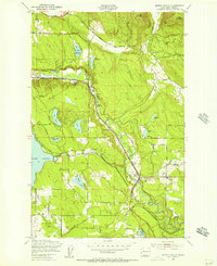
1949 · Maple Valley
USGS Topo · 1:24,000
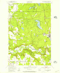
1949 · Black Diamond
USGS Topo · 1:24,000
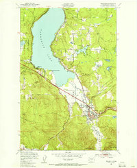
1950 · Issaquah
USGS Topo · 1:24,000