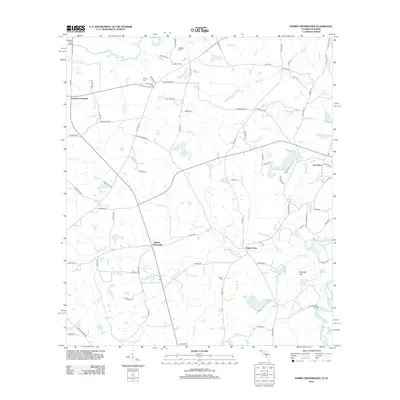
2012 Map of Hobbs Crossroads
USGS Topo · Published 2012About this map
Royals Crossroads and Hobbs Crossroads anchor this agricultural landscape in the early 21st century, where the rural character is defined by family-named landmarks and water-dependent crossings. The Pea River and Choctawhatchee River meet in the southeast corner, a junction marked by the Old Warehouse Landing and Dead River Lake. This fluvial geography historically dictated the placement of important infrastructure like the Stevens Ferry Bridge on the northern border.
Find a feature on this map
104 named features on this map. Tap any name to fly to it.
Don’t see what you’re looking for? This feature index may not catch every label — zoom into the map to look around manually.
Map Details
Editions of this 2012 Hobbs Crossroads Map
This is the sole edition of this map. No revisions or reprints were ever made.
Other maps of this area

1942 · Enterprise
USGS Topo · 1:125,000

1949 · Glendale
USGS Topo · 1:62,500

1949 · Hobbs Crossroads
USGS Topo · 1:24,000

1949 · Caryville
USGS Topo · 1:24,000

1950 · Hobbs Cross Roads
USGS Topo · 1:24,000

1950 · Prosperity
USGS Topo · 1:24,000

1950 · Caryville
USGS Topo · 1:24,000

1950 · Izagora
USGS Topo · 1:24,000

1951 · Glendale
USGS Topo · 1:62,500

1953 · Andalusia
USGS Topo · 1:250,000