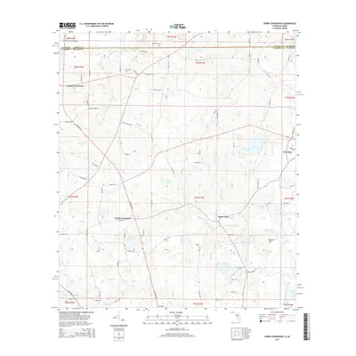
2015 Map of Hobbs Crossroads
USGS Topo · Published 2015About this map
The Pea River winds through the borderlands between Florida and Alabama, defining the northern geography of this rural 2015 landscape. This area is characterized by scattered settlements and agricultural crossroads, such as Hobbs Crossroads and Royals Crossroads, which serve as local hubs for the surrounding farmsteads. The southern reaches of the map are influenced by the Choctawhatchee River, featuring landmarks like Dead River Lake and Little Gar Lake. For genealogists, the map preserves the locations of several small burial grounds, including McDuffie Cem and Royals Cem. The road network, including Highway 163 and Highway 179A, connects these quiet communities to trade points like Barker Store and New Hope, while many small watercourses like Fowler Br and Caney Br drain the lowlands into the major river systems.
Find a feature on this map
103 named features on this map. Tap any name to fly to it.
Don’t see what you’re looking for? This feature index may not catch every label — zoom into the map to look around manually.
Map Details
Editions of this 2015 Hobbs Crossroads Map
This is the sole edition of this map. No revisions or reprints were ever made.
Other maps of this area

1942 · Enterprise
USGS Topo · 1:125,000

1949 · Glendale
USGS Topo · 1:62,500

1949 · Hobbs Crossroads
USGS Topo · 1:24,000

1949 · Caryville
USGS Topo · 1:24,000

1950 · Hobbs Cross Roads
USGS Topo · 1:24,000

1950 · Prosperity
USGS Topo · 1:24,000

1950 · Caryville
USGS Topo · 1:24,000

1950 · Izagora
USGS Topo · 1:24,000

1951 · Glendale
USGS Topo · 1:62,500

1953 · Andalusia
USGS Topo · 1:250,000