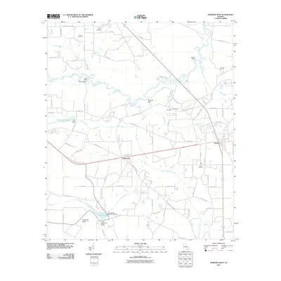
2011 Map of Hoboken West
USGS Topo · Published 2011About this map
The Satilla River carves a winding path through this corner of Brantley County, defined by distinct riverbank features such as Yellow Bluff, Clay Bluff, and Jumping Bluff. This landscape is primarily agricultural and rural, with the community of Schlatterville situated along the rail-aligned corridor of Highway 82, leading toward the town of Hoboken. The southern portion of the quadrangle is dominated by recreation and social services, anchored by Laura S Walker Lake and the nearby Georgia Lions Camp for the Blind.
Find a feature on this map
83 named features on this map. Tap any name to fly to it.
Don’t see what you’re looking for? This feature index may not catch every label — zoom into the map to look around manually.
Map Details
Editions of this 2011 Hoboken West Map
This is the sole edition of this map. No revisions or reprints were ever made.
Other maps of this area

1953 · Waycross
USGS Topo · 1:250,000

1958 · Waycross
USGS Topo · 1:250,000
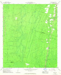
1966 · Winokur
USGS Topo · 1:24,000
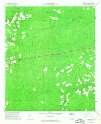
1966 · Hoboken East
USGS Topo · 1:24,000

1967 · Waycross SE
USGS Topo · 1:24,000
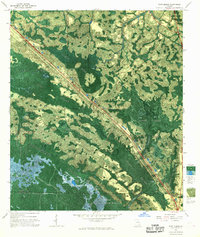
1967 · Fort Mudge
USGS Topo · 1:24,000

1967 · Hoboken West
USGS Topo · 1:24,000

1967 · Waycross East
USGS Topo · 1:24,000

1971 · Blackshear East
USGS Topo · 1:24,000

1971 · Blackshear West
USGS Topo · 1:24,000