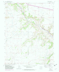
1963 Map of Hobson
USGS Topo · Published 1982About this map
The Arkansas River serves as the primary corridor for industry and transport on the border of Fremont and Pueblo counties. This 1963 field-checked survey highlights the heavy reliance on water management in the semi-arid landscape, evidenced by the Minnequa Canal, the Hobson Ditch, and a series of siphons and conduits that move water across the uneven terrain. The Denver and Rio Grande Western railroad parallels the river, providing the vital link between mountain resources and eastern markets.
Find a feature on this map
30 named features on this map. Tap any name to fly to it.
Don’t see what you’re looking for? This feature index may not catch every label — zoom into the map to look around manually.
Map Details
Editions of this 1963 Hobson Map
4 editions found
Other maps of this area

1889 · Canon City
USGS Topo · 1:125,000

1891 · Pueblo
USGS Topo · 1:125,000

1892 · Canon City
USGS Topo · 1:125,000

1894 · Pueblo
USGS Topo · 1:125,000

1896 · Pueblo
USGS Topo · 1:125,000

1897 · Pueblo
USGS Topo · 1:125,000

1954 · Pueblo
USGS Topo · 1:250,000

1957 · Pueblo
USGS Topo · 1:250,000

1958 · Pueblo
USGS Topo · 1:250,000

1959 · Florence
USGS Topo · 1:24,000