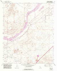
1971 Map of Hodge
USGS Topo · Published 1993About this map
Hodge and the small settlement at Johnstons Corner anchor this Mojave Desert landscape, which is defined by the wide, sandy corridor of the Mojave River. During the early 1990s, when these updates were finalized, the area served as a critical transit junction where the Atchison Topeka and Santa Fe railroad and the National Trails Highway run parallel along the river's eastern bank. The terrain rises sharply to the west toward the prominent ridges of Iron Mountain, while the valley floor is crisscrossed by an evocative network of desert routes with names like the Wagonwheel Trail, Buckhorn Trail, and Chisholm Trail. Evidence of local industry and infrastructure is visible in the scattered prospects, a Landing Strip, and a road on levee that protects the corridor from the unpredictable shifts of Brisbane Wash.
Find a feature on this map
36 named features on this map. Tap any name to fly to it.
Don’t see what you’re looking for? This feature index may not catch every label — zoom into the map to look around manually.
Map Details
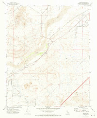
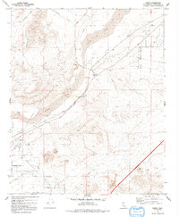
Editions of this 1971 Hodge Map
3 editions found
Other maps of this area

1932 · Barstow
USGS Topo · 1:125,000

1934 · Barstow
USGS Topo · 1:125,000

1953 · San Bernardino
USGS Topo · 1:250,000

1956 · San Bernardino
USGS Topo · 1:250,000

1956 · Hawes
USGS Topo · 1:62,500

1956 · Barstow
USGS Topo · 1:62,500

1956 · Helendale
USGS Topo · 1:24,000
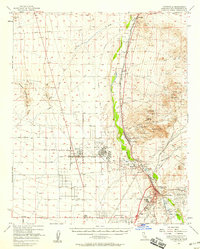
1956 · Victorville
USGS Topo · 1:62,500

1957 · Apple Valley
USGS Topo · 1:62,500

1957 · San Bernardino
USGS Topo · 1:250,000