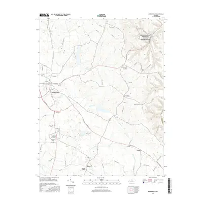
2016 Map of Hodgenville
USGS Topo · Published 2016About this map
Abraham Lincoln Birthplace National Historical Park preserves the landscape of early 19th-century Kentucky, centered near the fork of Knob Creek. This modern survey details the commemorative geography of Hodgenville, tracing the connections between the town and the outlying communities of Buffalo, Leafdale, and Jericho. The terrain is defined by the winding paths of the N Fork Nolin River and S Fork Nolin River, which carve through the limestone-rich Larue County countryside.
Find a feature on this map
81 named features on this map. Tap any name to fly to it.
Don’t see what you’re looking for? This feature index may not catch every label — zoom into the map to look around manually.
Map Details
Editions of this 2016 Hodgenville Map
This is the sole edition of this map. No revisions or reprints were ever made.
Other maps of this area

1934 · Munfordville
USGS Topo · 1:48,000

1935 · Elizabethtown
USGS Topo · 1:48,000

1937 · Munfordville
USGS Topo · 1:62,500

1938 · Elizabethtown
USGS Topo · 1:62,500

1949 · Tonieville
USGS Topo · 1:24,000

1949 · Elizabethtown
USGS Topo · 1:24,000
1949 · Elizabethtown
USGS Topo · 1:62,500

1953 · Howardstown
USGS Topo · 1:24,000

1953 · Nelsonville
USGS Topo · 1:24,000

1953 · Hibernia
USGS Topo · 1:24,000