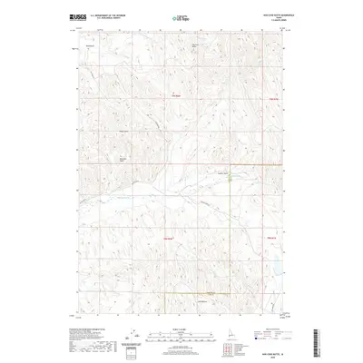
2020 Map of Hog Cove Butte
USGS Topo · Published 2020About this map
Hog Cove Butte dominates the northern elevation of this landscape, where the high ridges of the Idaho backcountry meet the drainage basins of Payette Co and Gem Co. The terrain is defined by a series of steep gulches and basins, including Road Gulch, Sheep Gulch, and the prominent Bannister Basin. This network of seasonal and perennial waterways, such as Big Willow Cr and Sucker Cr, illustrates how water movement has carved the topography of the western Idaho rangelands.
Find a feature on this map
23 named features on this map. Tap any name to fly to it.
Don’t see what you’re looking for? This feature index may not catch every label — zoom into the map to look around manually.
Map Details
Editions of this 2020 Hog Cove Butte Map
This is the sole edition of this map. No revisions or reprints were ever made.
Other maps of this area

1892 · Boise
USGS Topo · 1:125,000

1894 · Squaw Creek
USGS Topo · 1:125,000

1897 · Boise
USGS Topo · 1:125,000

1897 · Weiser
USGS Topo · 1:125,000

1898 · Nampa
USGS Topo · 1:125,000

1953 · Montour
USGS Topo · 1:62,500

1955 · Baker
USGS Topo · 1:250,000

1955 · Boise
USGS Topo · 1:250,000

1958 · Boise
USGS Topo · 1:250,000

1959 · Baker
USGS Topo · 1:250,000