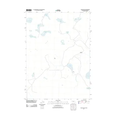
2011 Map of Hog Island
USGS Topo · Published 2011About this map
Shell Lake and the nearby Shell Lake Dam anchor the eastern landscape of this portion of the Pine Ridge region, where a dense network of small water bodies punctuates the terrain. The area is defined by its numerous named lakes, including Powell Lake, Frye Lake, and Hoover Lake to the northwest, suggesting a high water table and a series of natural basins characteristic of this part of Oglala Lakota County. Human intervention in the hydrology is evident through the presence of the Horseshoe Drainage Ditch, which runs south of Horseshoe Meadow.
Find a feature on this map
17 named features on this map. Tap any name to fly to it.
Don’t see what you’re looking for? This feature index may not catch every label — zoom into the map to look around manually.
Map Details
Editions of this 2011 Hog Island Map
This is the sole edition of this map. No revisions or reprints were ever made.
Other maps of this area

1950 · Irwin
USGS Topo · 1:62,500

1951 · Irwin
USGS Topo · 1:62,500

1955 · Hot Springs
USGS Topo · 1:250,000

1955 · Alliance
USGS Topo · 1:250,000

1955 · Martin
USGS Topo · 1:250,000

1957 · Alliance
USGS Topo · 1:250,000

1957 · Valentine
USGS Topo · 1:250,000

1958 · Martin
USGS Topo · 1:250,000

1958 · Alliance
USGS Topo · 1:250,000

1959 · Valentine
USGS Topo · 1:250,000