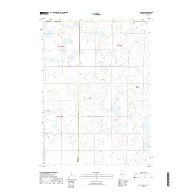
2017 Map of Hog Island
USGS Topo · Published 2017About this map
The Nebraska Sandhills near the Sheridan and Cherry County border are defined by a vast, intricate network of seasonal and permanent water bodies. At the center of this landscape sits Hog Island, an area of higher ground surrounded by wetlands and a concentration of named basins including Shell Lake and Dads Lake. The map reveals the management of this unique hydrology through features like the Horseshoe Drainage Ditch, which connects the wetland systems east of Horseshoe Meadow.
Find a feature on this map
27 named features on this map. Tap any name to fly to it.
Don’t see what you’re looking for? This feature index may not catch every label — zoom into the map to look around manually.
Map Details
Editions of this 2017 Hog Island Map
This is the sole edition of this map. No revisions or reprints were ever made.
Other maps of this area

1950 · Irwin
USGS Topo · 1:62,500

1951 · Irwin
USGS Topo · 1:62,500

1955 · Hot Springs
USGS Topo · 1:250,000

1955 · Alliance
USGS Topo · 1:250,000

1955 · Martin
USGS Topo · 1:250,000

1957 · Alliance
USGS Topo · 1:250,000

1957 · Valentine
USGS Topo · 1:250,000

1958 · Martin
USGS Topo · 1:250,000

1958 · Alliance
USGS Topo · 1:250,000

1959 · Valentine
USGS Topo · 1:250,000