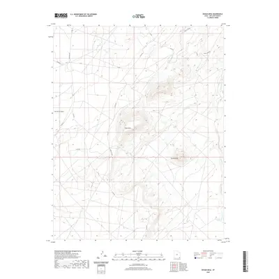
2020 Map of Hogan Mesa
USGS Topo · Published 2020About this map
Hogan Mesa and the surrounding high desert of the Shiprock Agency are defined by a network of seasonal water sources and tribal routes in this modern survey. The map records several vital water points across the arid terrain, including Little Water Spring and Salt Water Spring, which serve as crucial landmarks in a landscape otherwise dominated by expansive plateaus like Casa del Eco Mesa. Settlement remains sparse, with the layout primarily focused on the infrastructure of Indian Rte 5061 and Indian Rte 5063 that connect the area. The drainage of Desert Creek carves through the eastern portion of the quadrangle, while the distinct geologic profile of Standing Rock provides a prominent navigational aid for those traversing the network of county and Indian routes that crisscross the mesa floor.
Find a feature on this map
20 named features on this map. Tap any name to fly to it.
Don’t see what you’re looking for? This feature index may not catch every label — zoom into the map to look around manually.
Map Details
Editions of this 2020 Hogan Mesa Map
This is the sole edition of this map. No revisions or reprints were ever made.
Other maps of this area

1886 · Abajo
USGS Topo · 1:250,000

1892 · Abajo
USGS Topo · 1:250,000

1893 · Abajo
USGS Topo · 1:250,000

1956 · Cortez
USGS Topo · 1:250,000

1958 · Cortez
USGS Topo · 1:250,000

1959 · Cortez
USGS Topo · 1:250,000

1962 · Cortez
USGS Topo · 1:250,000

1962 · Montezuma Creek
USGS Topo · 1:62,500

1962 · Bluff
USGS Topo · 1:62,500
1962 · Boundary Butte
USGS Topo · 1:62,500