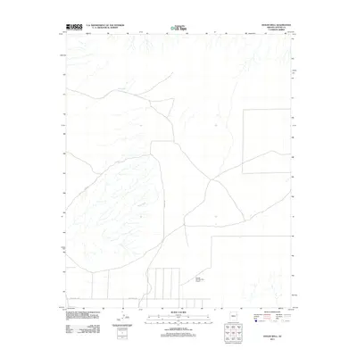
2011 Map of Hogan Well
USGS Topo · Published 2011About this map
Milky Wash defines the drainage pattern of this high-desert landscape in Apache County, where water sources like Hogan Well were vital markers in an arid terrain. The map captures a sparsely settled portion of the Fort Defiance Agency area, centered on the Navajo Number Five Airport. The road network is primarily composed of unpaved routes such as Cherrys Rd, Witch Well Rd, and Rte 2007, which cross the wide open spaces between seasonal watercourses. This 2011 survey documents the remote infrastructure of the region, illustrating how modern aviation and basic road systems intersect with traditional landmarks and natural features in this corner of the Navajo Nation.
Find a feature on this map
6 named features on this map. Tap any name to fly to it.
Don’t see what you’re looking for? This feature index may not catch every label — zoom into the map to look around manually.
Map Details
Editions of this 2011 Hogan Well Map
This is the sole edition of this map. No revisions or reprints were ever made.
Other maps of this area

1886 · St Johns
USGS Topo · 1:250,000

1886 · Fort Defiance
USGS Topo · 1:250,000

1892 · Fort Defiance
USGS Topo · 1:250,000

1892 · St Johns
USGS Topo · 1:250,000

1954 · Saint Johns
USGS Topo · 1:250,000

1954 · Gallup
USGS Topo · 1:250,000

1957 · Saint Johns
USGS Topo · 1:250,000

1958 · Gallup
USGS Topo · 1:250,000

1958 · Saint Johns
USGS Topo · 1:250,000

1959 · Gallup
USGS Topo · 1:250,000