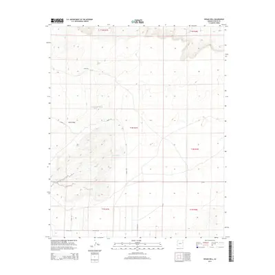
2014 Map of Hogan Well
USGS Topo · Published 2014About this map
Hogan Well serves as a lonely landmark in this high-desert reach of Apache County, where the landscape is defined by the prominent elevation of Puerco Ridge. This 2014 survey documents the sparse human footprint across the desert floor, where ephemeral water features like Milky Wash dictate the flow of the land. The mapping of regional routes, including Cherrys Rd, Co Road 7230, and the evocatively named Witch-Well-Rd, provides a clear view of the rural infrastructure connecting this corner of the Fort Defiance Agency. The map is organized by the Public Land Survey System grids, specifically tracking parts of T18N R27E and T18N R28E, offering an essential reference for land management and genealogy in this remote Arizona corridor.
Find a feature on this map
13 named features on this map. Tap any name to fly to it.
Don’t see what you’re looking for? This feature index may not catch every label — zoom into the map to look around manually.
Map Details
Editions of this 2014 Hogan Well Map
This is the sole edition of this map. No revisions or reprints were ever made.
Other maps of this area

1886 · St Johns
USGS Topo · 1:250,000

1886 · Fort Defiance
USGS Topo · 1:250,000

1892 · Fort Defiance
USGS Topo · 1:250,000

1892 · St Johns
USGS Topo · 1:250,000

1954 · Saint Johns
USGS Topo · 1:250,000

1954 · Gallup
USGS Topo · 1:250,000

1957 · Saint Johns
USGS Topo · 1:250,000

1958 · Gallup
USGS Topo · 1:250,000

1958 · Saint Johns
USGS Topo · 1:250,000

1959 · Gallup
USGS Topo · 1:250,000