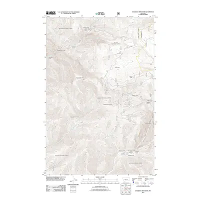
2011 Map of Hogback Mountain
USGS Topo · Published 2011About this map
Hogback Mountain dominates this high-elevation terrain in Lewis and Clark County, where a network of gulches and canyons defines the drainage patterns into Beaver Creek and Soup Creek. The landscape reflects a mix of remote wilderness and established backcountry access, notably along Beaver Creek Rd and York Rd. Historical land use is evidenced by family-named landmarks like the B K Ranch and the small settlement at Smith. Recreation is a primary feature of the modern era here, with the Pike Gulch Campground and Vigilante Campground situated near the dramatic Trout Creek Canyon. Curiously named features such as Barking Dog, Slaughter Pen Gulch, and Refrigerator Canyon suggest a colorful local history of ranching, hunting, and early exploration through these mountains and valleys.
Find a feature on this map
32 named features on this map. Tap any name to fly to it.
Don’t see what you’re looking for? This feature index may not catch every label — zoom into the map to look around manually.
Map Details
Editions of this 2011 Hogback Mountain Map
This is the sole edition of this map. No revisions or reprints were ever made.
Other maps of this area

1886 · Fort Logan
USGS Topo · 1:250,000

1948 · White Sulphur Springs
USGS Topo · 1:250,000

1950 · Canyon Ferry
USGS Topo · 1:62,500

1950 · East Helena
USGS Topo · 1:62,500

1958 · White Sulphur Springs
USGS Topo · 1:250,000

1961 · White Sulphur Springs
USGS Topo · 1:250,000

1962 · Hogback Mountain
USGS Topo · 1:24,000

1962 · B K Ranch
USGS Topo · 1:24,000
1962 · Middle Creek Lake
USGS Topo · 1:24,000
1962 · Candle Mountain
USGS Topo · 1:24,000