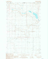
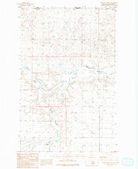
1984 Map of Hogeland NW
USGS Topo · Published 1984About this map
Woody Island Coulee cuts a distinct path through the northern plains of Blaine Co, Montana, during the mid-1980s. This survey, compiled from 1975 aerial photography, documents the sparse and specialized landscape along the international border between the United States and Canada. The terrain is characterized by large, shallow water bodies such as Alkali Lake, which dominate the local hydrology. The map reflects a moment in time when the border between Montana and Saskatchewan was defined by simple section lines and isolated landmarks rather than dense settlement. The presence of numerous storage bins and small reservoirs across the grid suggests an era of focused dry-land agriculture and cattle ranching, where water management was critical for survival in the high plains.
Find a feature on this map
6 named features on this map. Tap any name to fly to it.
Don’t see what you’re looking for? This feature index may not catch every label — zoom into the map to look around manually.
Map Details
Editions of this 1984 Hogeland NW Map
This is the sole edition of this map. No revisions or reprints were ever made.
Other maps of this area

1913 · Cherry Ridge
USGS Topo · 1:125,000

1953 · Havre
USGS Topo · 1:250,000

1957 · Havre
USGS Topo · 1:250,000

1958 · Havre
USGS Topo · 1:250,000

1984 · Hogeland SE
USGS Topo · 1:24,000
1984 · Hogeland
USGS Topo · 1:24,000
1984 · Aubrey Dam
USGS Topo · 1:24,000
1984 · Silver Bow Spring
USGS Topo · 1:24,000
1984 · Mosquito Springs
USGS Topo · 1:24,000
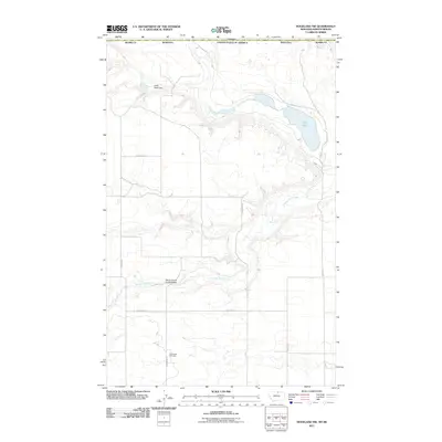
2011 · Hogeland NW
USGS Topo · 1:24,000