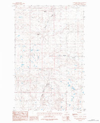
1984 Map of Silver Bow Spring
USGS Topo · Published 1984About this map
Silver Bow Spring and other scattered water sources define this high-plains landscape in Blaine County, Montana. The terrain is characterized by intricate drainage patterns and small, isolated depressions, with Woody Island Coulee and Murphy Coulee cutting through the northern and eastern sections. These coulees, along with Senechal Spring and Snider Spring, likely served as critical landmarks and watering points for early livestock operations in this arid region.
Find a feature on this map
7 named features on this map. Tap any name to fly to it.
Don’t see what you’re looking for? This feature index may not catch every label — zoom into the map to look around manually.
Map Details
Editions of this 1984 Silver Bow Spring Map
This is the sole edition of this map. No revisions or reprints were ever made.
Other maps of this area

1903 · Wayne Creek
USGS Topo · 1:62,500

1905 · Wayne Creek
USGS Topo · 1:62,500

1905 · Harlem
USGS Topo · 1:62,500

1913 · Cherry Ridge
USGS Topo · 1:125,000

1953 · Havre
USGS Topo · 1:250,000

1957 · Havre
USGS Topo · 1:250,000

1958 · Havre
USGS Topo · 1:250,000
1984 · Harlem NW
USGS Topo · 1:24,000
1984 · Silver Bow Lake
USGS Topo · 1:24,000
1984 · Wayne Creek NW
USGS Topo · 1:24,000