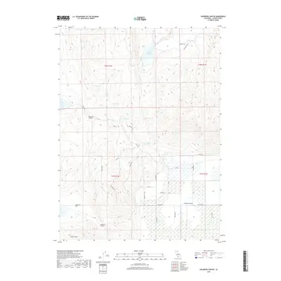
2018 Map of Holbrook Canyon
USGS Topo · Published 2018About this map
Madeline Plains anchor the southern reaches of this Lassen County landscape, transitioning from high-altitude flats into the complex drainage systems of Holbrook Canyon and Anderson Canyon. The 2018 topography is defined by its water resources, with numerous named points such as Clover Springs, Nelson Corral Spring, and the Nelson Corral Reservoir supporting the high-desert environment. This area is characterized by a dense network of specialized trails, including the Mahogany Trl, Juniper Trl, and Lone Pine Trl, which navigate the slopes of Anderson Mtn. The presence of these named springs and varied terrain features like Harter Flat and Sagebrush Flat reflects the historical importance of water management and stock grazing in this part of California.
Find a feature on this map
40 named features on this map. Tap any name to fly to it.
Don’t see what you’re looking for? This feature index may not catch every label — zoom into the map to look around manually.
Map Details
Editions of this 2018 Holbrook Canyon Map
This is the sole edition of this map. No revisions or reprints were ever made.
Other maps of this area

1886 · Alturas
USGS Topo · 1:250,000

1886 · Honey Lake
USGS Topo · 1:250,000

1891 · Honey Lake
USGS Topo · 1:250,000

1892 · Alturas
USGS Topo · 1:250,000

1893 · Honey Lake
USGS Topo · 1:250,000

1954 · Grasshopper Valley
USGS Topo · 1:62,500

1954 · Ravendale
USGS Topo · 1:62,500

1954 · Alturas
USGS Topo · 1:250,000

1955 · Westwood
USGS Topo · 1:250,000

1958 · Alturas
USGS Topo · 1:250,000