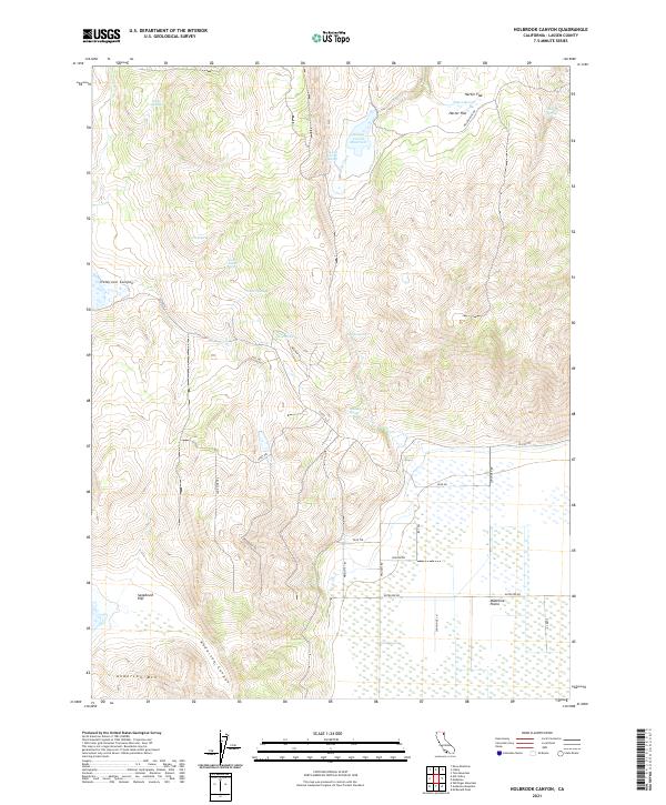
2021 Map of Holbrook Canyon
USGS Topo · Published 2021About this map
The Madeline Plains stretch across the southern portion of this northern California landscape, meeting the rising slopes of Anderson Mtn and the drainage of Anderson Canyon. This high-desert terrain is defined by a critical network of water sources, including the Nelson Corral Reservoir and numerous family-named or landmark seeps such as Bill Allen Spring, Clover Springs, and the uniquely titled J O B Spring.
Find a feature on this map
40 named features on this map. Tap any name to fly to it.
Don’t see what you’re looking for? This feature index may not catch every label — zoom into the map to look around manually.
Map Details
Editions of this 2021 Holbrook Canyon Map
This is the sole edition of this map. No revisions or reprints were ever made.
Other maps of this area

1886 · Alturas
USGS Topo · 1:250,000

1886 · Honey Lake
USGS Topo · 1:250,000

1891 · Honey Lake
USGS Topo · 1:250,000

1892 · Alturas
USGS Topo · 1:250,000

1893 · Honey Lake
USGS Topo · 1:250,000

1954 · Grasshopper Valley
USGS Topo · 1:62,500

1954 · Ravendale
USGS Topo · 1:62,500

1954 · Alturas
USGS Topo · 1:250,000

1955 · Westwood
USGS Topo · 1:250,000

1958 · Alturas
USGS Topo · 1:250,000