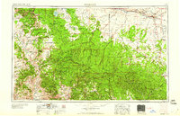
1960 Map of Holbrook
USGS Topo · Published 1960About this map
The Mogollon Rim dominates this mid-century survey, forming a dramatic geological divide between the high plateaus of the Coconino National Forest and the lower basin lands to the south. Along the northern corridor, the Atchison Topeka & Santa Fe RR parallels U.S. 66, connecting established rail towns like Holbrook, Joseph City, and Winslow along the Little Colorado River. This transit network contrasts with the isolated communities tucked into the forested highlands, such as Strawberry, Pine, and Heber-Overgaard.
Find a feature on this map
110 named features on this map. Tap any name to fly to it.
Don’t see what you’re looking for? This feature index may not catch every label — zoom into the map to look around manually.
Map Details
Editions of this 1960 Holbrook Map
This is the sole edition of this map. No revisions or reprints were ever made.
Other maps of this area
1883 · Tusayan
USGS Topo · 1:250,000

1886 · St Johns
USGS Topo · 1:250,000
1886 · Tusayan
USGS Topo · 1:250,000
1886 · Fort Defiance
USGS Topo · 1:250,000
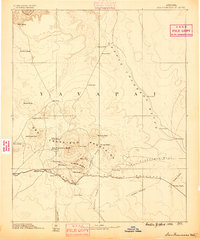
1886 · San Francisco Mtns
USGS Topo · 1:250,000
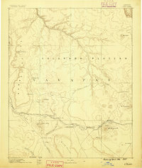
1886 · Chino
USGS Topo · 1:250,000
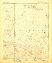
1886 · Holbrook
USGS Topo · 1:250,000

1887 · Verde
USGS Topo · 1:250,000

1887 · Prescott
USGS Topo · 1:250,000
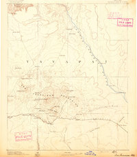
1891 · San Francisco Mtns
USGS Topo · 1:250,000