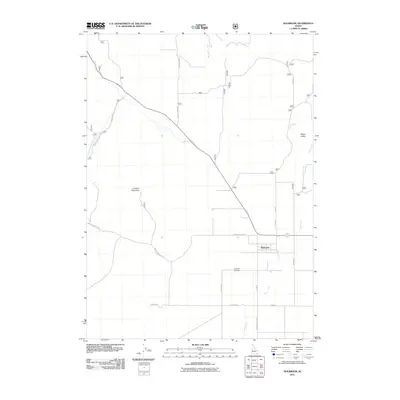
2011 Map of Holbrook
USGS Topo · Published 2011About this map
Holbrook serves as the central hub of this rural Idaho landscape, situated at the junction of Old Hwy 37 and several local routes. The settlement pattern is defined by long, straight section-line roads such as North Canyon Rd and W Baker Rd that crisscross the valley floor, reflecting the grid-based land distribution of the American West. The Holbrook Cemetery on Cemetery Rd offers a specific point of interest for those researching local family histories in this corner of Oneida County.
Find a feature on this map
20 named features on this map. Tap any name to fly to it.
Don’t see what you’re looking for? This feature index may not catch every label — zoom into the map to look around manually.
Map Details
Editions of this 2011 Holbrook Map
This is the sole edition of this map. No revisions or reprints were ever made.
Other maps of this area

1954 · Pocatello
USGS Topo · 1:250,000

1958 · Pocatello
USGS Topo · 1:250,000

1973 · The Cove
USGS Topo · 1:24,000
1973 · Roy
USGS Topo · 1:24,000
1973 · Stone
USGS Topo · 1:24,000
1973 · Badger Hole Spring
USGS Topo · 1:24,000
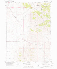
1973 · Sheep Creek Spring
USGS Topo · 1:24,000
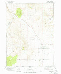
1973 · Holbrook
USGS Topo · 1:24,000
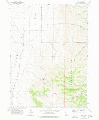
1973 · Buist
USGS Topo · 1:24,000
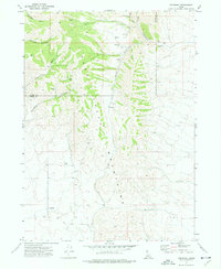
1973 · Cedarhill
USGS Topo · 1:24,000