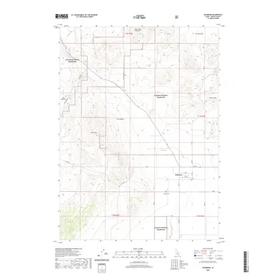
2020 Map of Holbrook
USGS Topo · Published 2020About this map
The settlement of Holbrook serves as a small anchor in this high-desert landscape of southern Idaho, situated at the intersection of a localized grid of section roads including W 1400 S and S 20500 W. The surrounding terrain is largely defined by the expansive Curlew National Grassland, which encompasses much of the rolling sagebrush and grassland habitat. Topographic highlights include the rising elevations of Lookout Mtn and the fringes of the Deep Creek Mountains to the north.
Find a feature on this map
28 named features on this map. Tap any name to fly to it.
Don’t see what you’re looking for? This feature index may not catch every label — zoom into the map to look around manually.
Map Details
Editions of this 2020 Holbrook Map
This is the sole edition of this map. No revisions or reprints were ever made.
Other maps of this area

1954 · Pocatello
USGS Topo · 1:250,000

1958 · Pocatello
USGS Topo · 1:250,000

1973 · The Cove
USGS Topo · 1:24,000
1973 · Roy
USGS Topo · 1:24,000
1973 · Stone
USGS Topo · 1:24,000
1973 · Badger Hole Spring
USGS Topo · 1:24,000
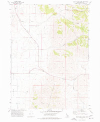
1973 · Sheep Creek Spring
USGS Topo · 1:24,000
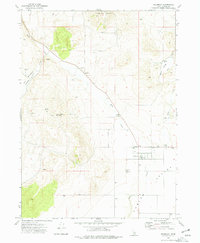
1973 · Holbrook
USGS Topo · 1:24,000
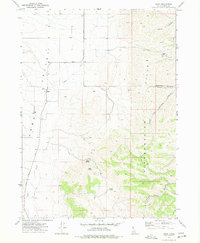
1973 · Buist
USGS Topo · 1:24,000
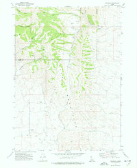
1973 · Cedarhill
USGS Topo · 1:24,000